
Muhu and Saaremaa: a ferry, windmills and a crater
The ferry from Virtsu to Kuivastu, then the causeway to Saaremaa. On the way: the Kaali crater, the Angla windmills and the Sõrve lighthouse.
- Distance. Virtsu – Orissaare – Kalmu – Kuressaare about 180 km, our estimate, not including the ferry. The loop to Kaali is about 80–100 km
- Road. mostly asphalt with flowing bends, and it is windy
- When to ride. May to September. In July and August there are queues for the ferry
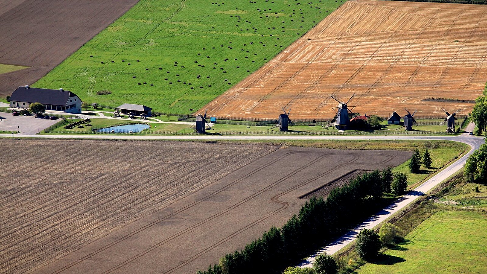
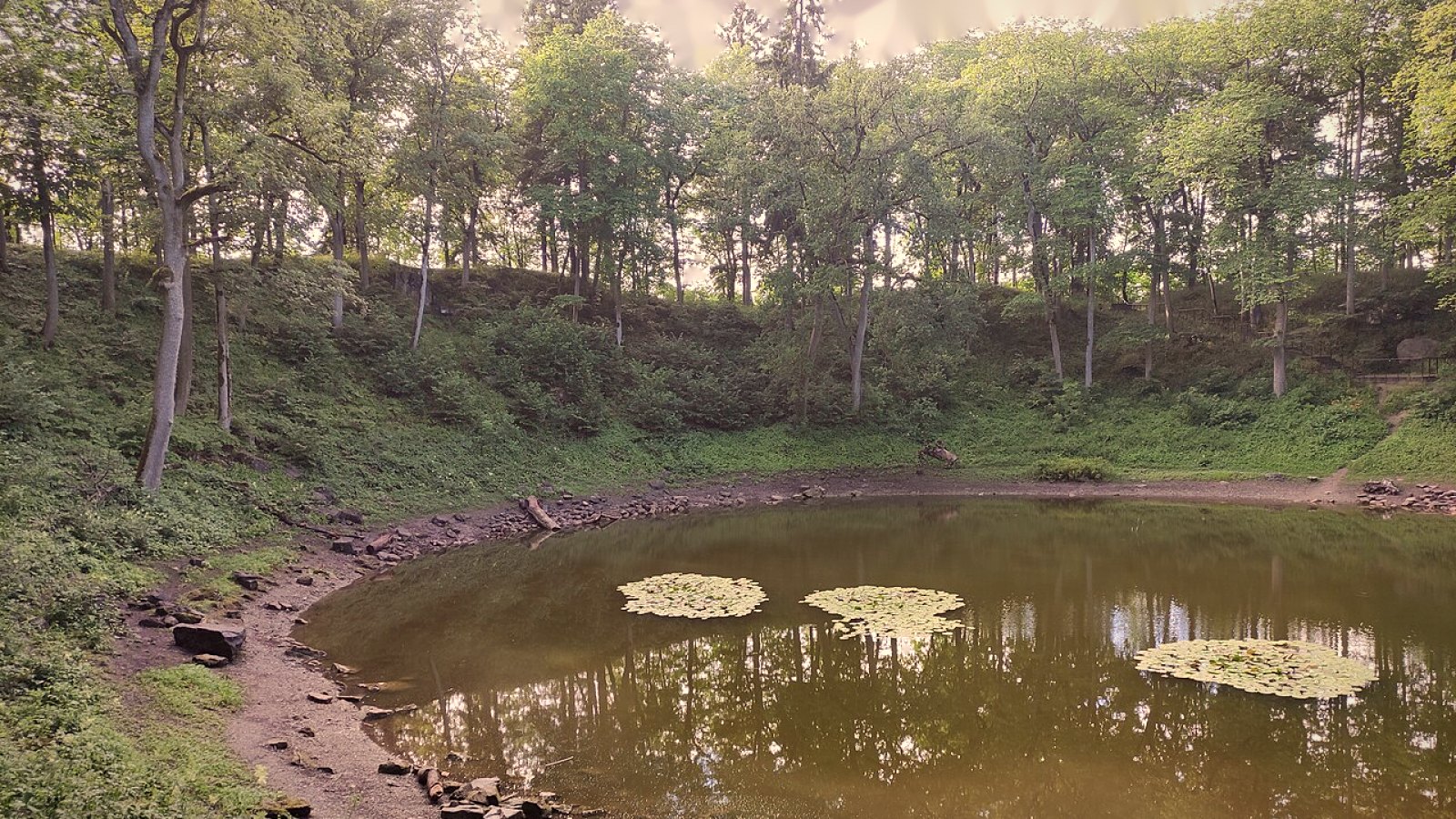
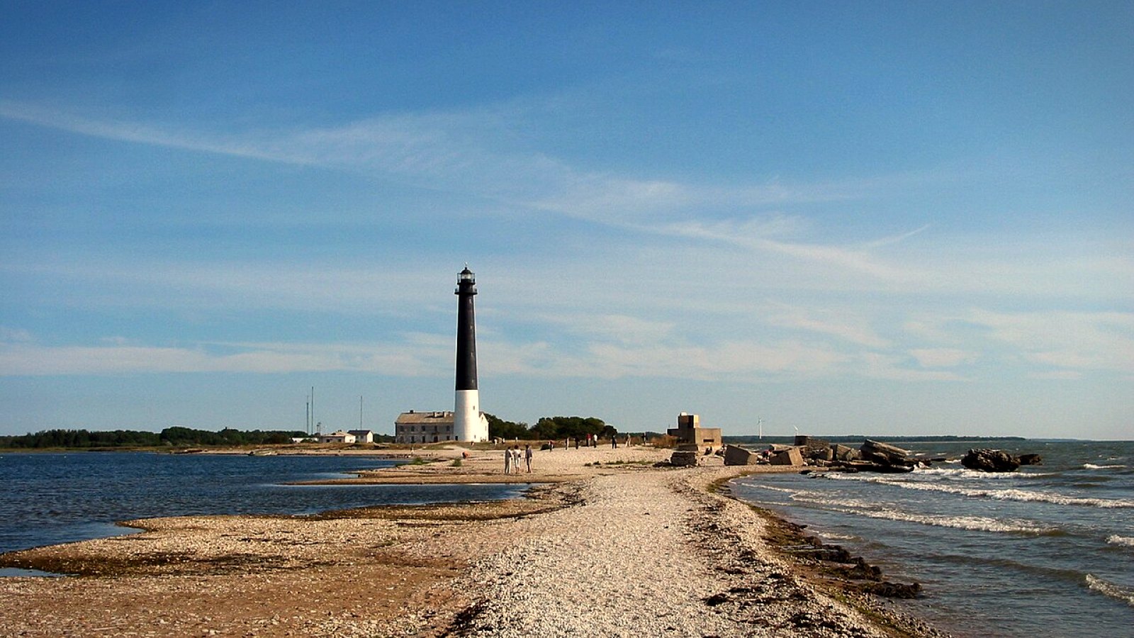
From Virtsu the ferry runs to Kuivastu on Muhu, and from there a causeway takes you to Saaremaa. The road from Orissaare to Kalmu, 88 km, crosses the island. Riders on Best Biking Roads say there are many places to stop, the surface is mostly good, and the road’s profile is one of the best in Estonia.
Visit Estonia also suggests a loop of about 100 km from Kuressaare: the Kaali crater, the Angla windmills and the bishop’s castle. In the south of the island, on the Sõrve peninsula, the road through Jämaja (second on the Best Biking Roads list) leads to the Sõrve lighthouse.
On the map the ferry between Virtsu and Kuivastu is a dashed line. After that the line follows the road to Kuressaare, then the loop through Kaali and Angla, and the road to the Sõrve lighthouse.
Route map
- Virtsu – Kuressaare in Google Maps
Virtsu – Kuressaare in Waze
Waze opens one point at a time. Follow them in order, in motorcycle mode.
- The Kaali and Angla loop
The Kaali and Angla loop
Waze opens one point at a time. Follow them in order, in motorcycle mode.
- Kuressaare – Jämaja – Sõrve lighthouse
Kuressaare – Jämaja – Sõrve lighthouse
Waze opens one point at a time. Follow them in order, in motorcycle mode.
…