
Routes
Estonia is flat, but you would not call it dull. There is a sea cliff as tall as a block of flats, hills where the road drops and climbs, Old Believer villages that smell of dried onion, and islands you reach by ferry.
These sixteen rides are ones that motorcyclists, travel sites and local guides recommend. Eight cross the country, and eight start in Tallinn, from an evening loop to a long weekend in Otepää. The season is already closed, so this is a plan for spring 2027.
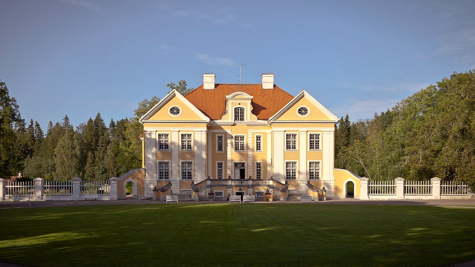
The north coast and Lahemaa: Kaberneeme – Viru-Nigula
Small winding asphalt roads through Leesi, Viinistu, Palmse, Võsu and Altja, plus a short gravel stretch to the northernmost point of mainland Estonia.
Distance: about 170 km, our estimate from the maps
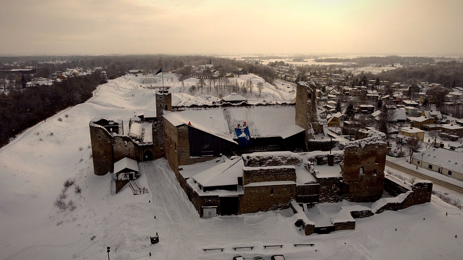
From Rakvere castle to the Rannapungerja lighthouse
75 km of road with bends. It starts at the medieval castle in Rakvere and ends at the lighthouse on the north shore of Lake Peipsi.
Distance: about 75 km
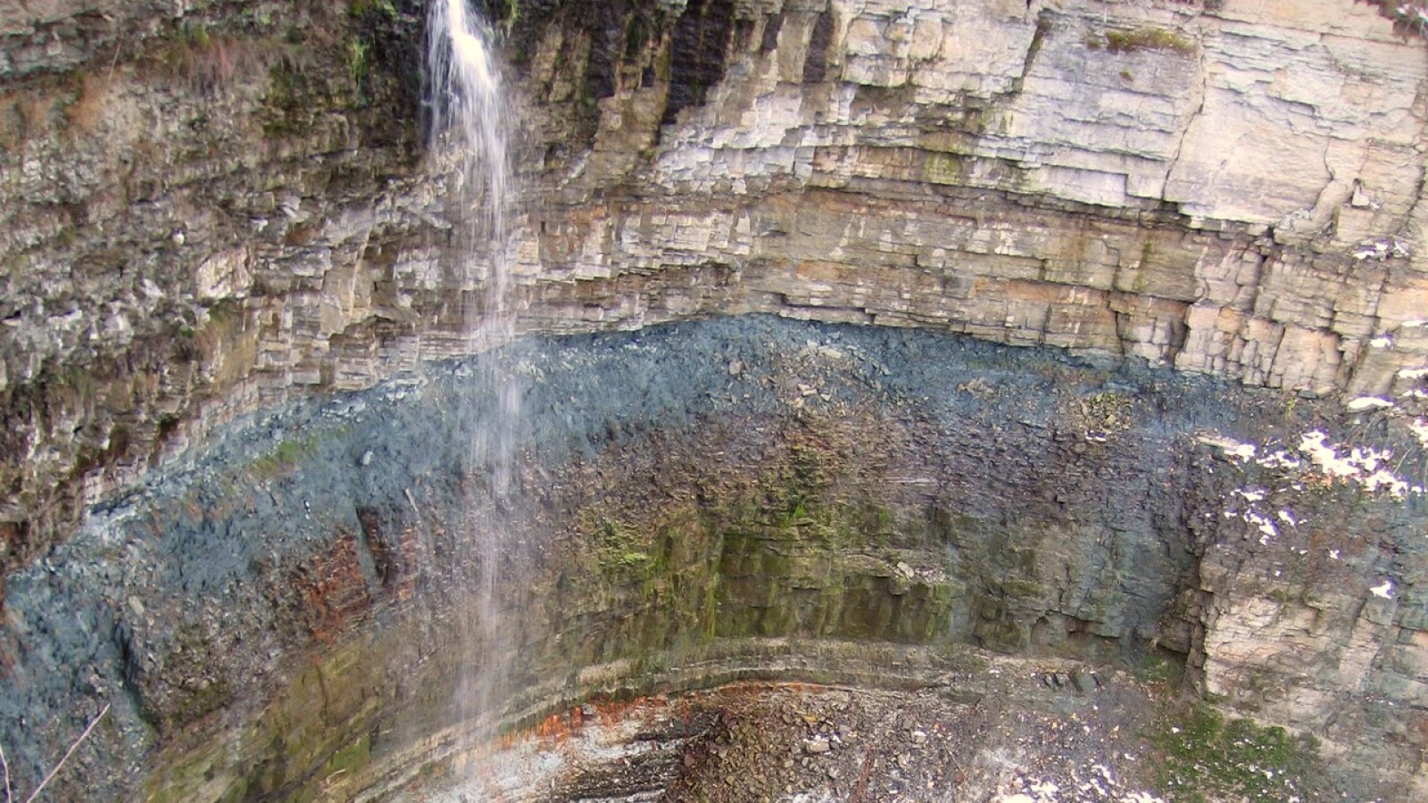
Along the cliff: Saka – Ontika – Valaste – Toila
Here the Baltic cliff is at its highest: at Ontika and Valaste the drop is 55 metres above the sea. The road runs about 50 metres above the water.
Distance: about 20 km along the cliff. With the approach from Kohtla-Järve and the continuation to Voka, about 36 km, our estimate
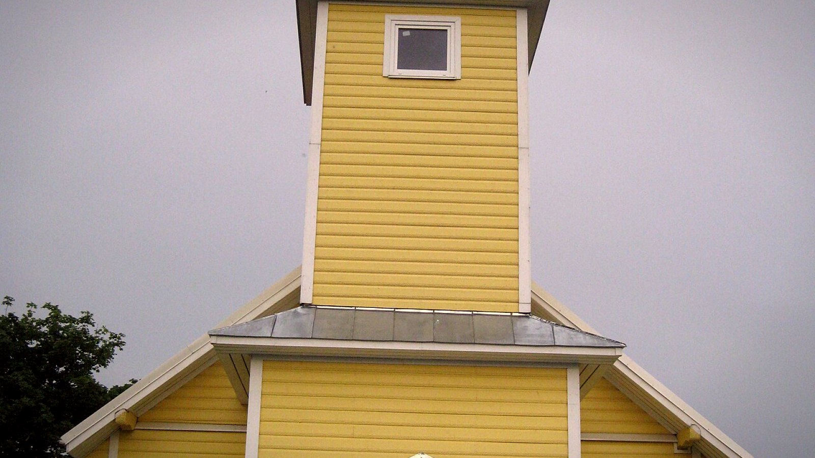
The Onion Route along Lake Peipsi: Mustvee – Alatskivi
Old Believer villages, onion pies and Alatskivi castle. The shore road is narrow, and there is gravel between the villages.
Distance: about 70 km, our estimate. Visit Estonia says about 80 km
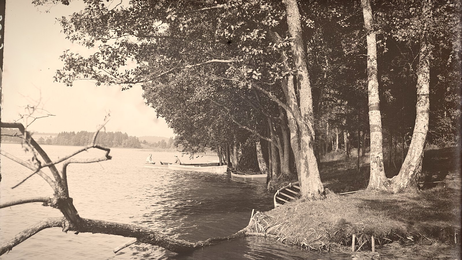
The Otepää hills: Tartu – Otepää – Puka
Best Biking Roads ranks this first among roads in Estonia. Wide bends through the fields, then forest and sharp corners.
Distance: about 66 km from Tartu to Puka, our estimate. The Otepää – Puka stretch itself is 14 km, according to Best Biking Roads
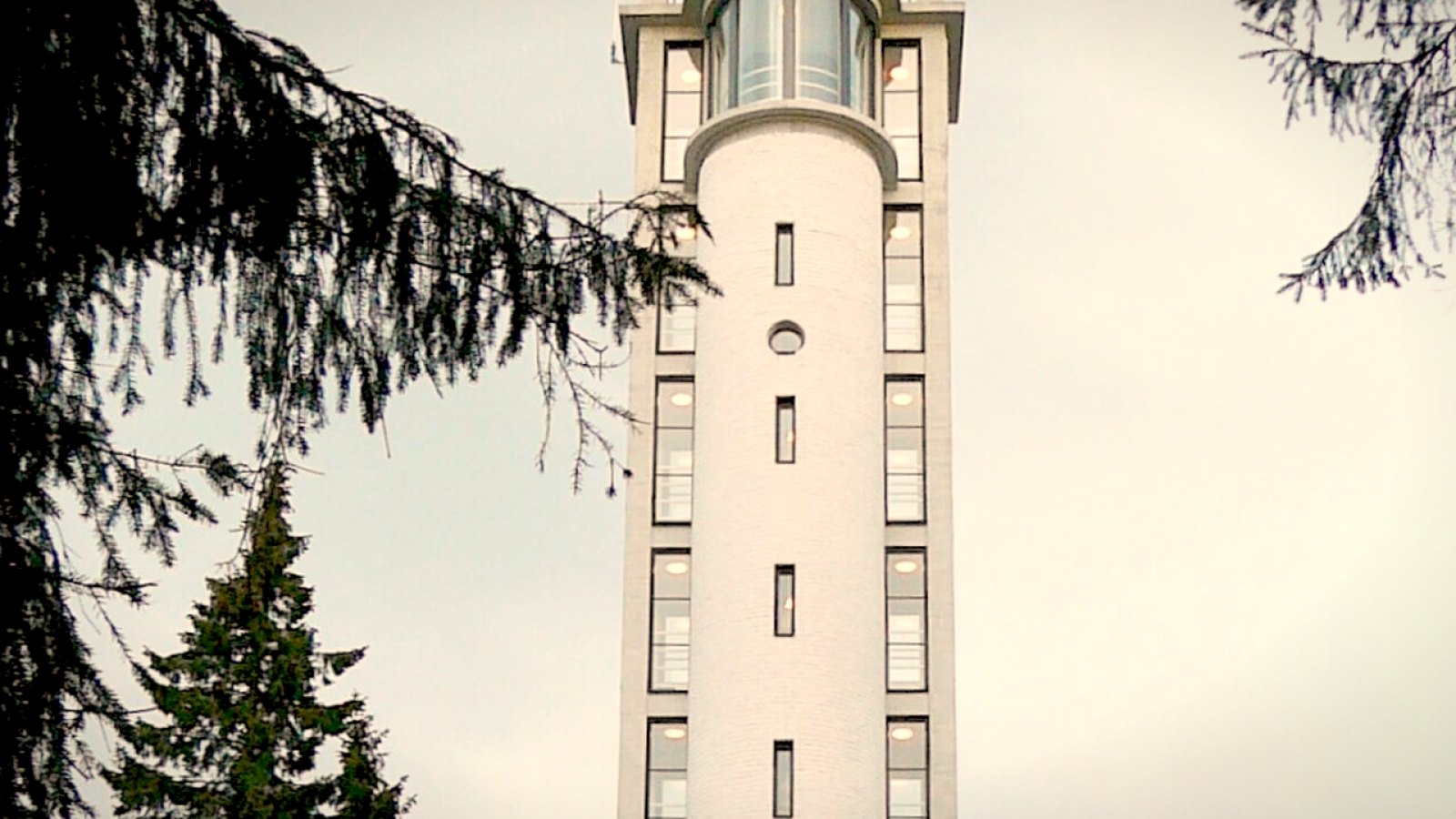
Võrumaa: Suur Munamägi and the Urvaste valley
The highest hills in the Baltic countries, and one of the finest classic roads in southern Estonia, from Antsla to Kanepi.
Distance: the Võru – Haanja – Rõuge loop is about 27 km, and Antsla – Urvaste – Kanepi about 28 km. We estimated both from the maps
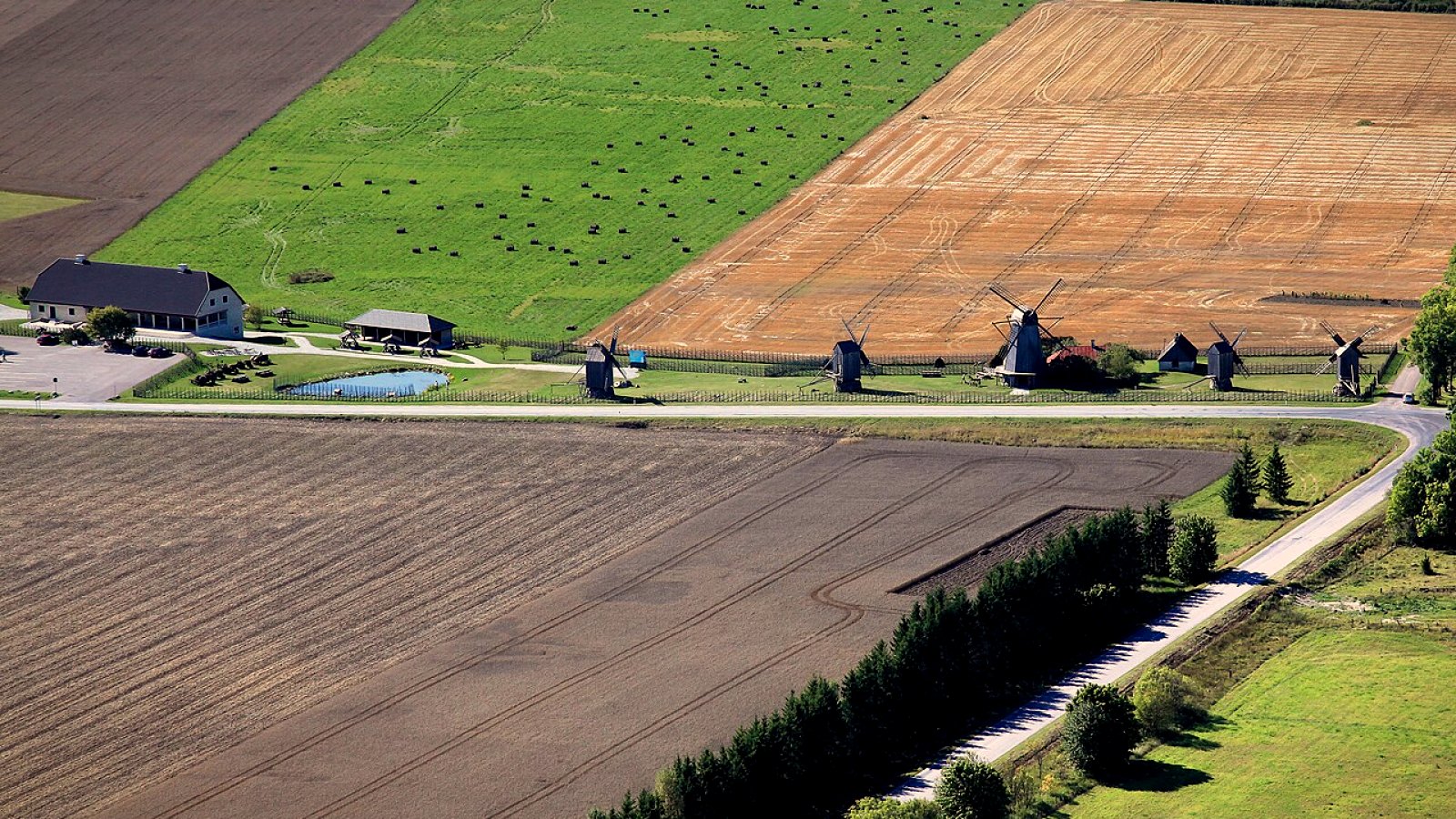
Muhu and Saaremaa: a ferry, windmills and a crater
The ferry from Virtsu to Kuivastu, then the causeway to Saaremaa. On the way: the Kaali crater, the Angla windmills and the Sõrve lighthouse.
Distance: Virtsu – Orissaare – Kalmu – Kuressaare about 180 km, our estimate, not including the ferry. The loop to Kaali is about 80–100 km
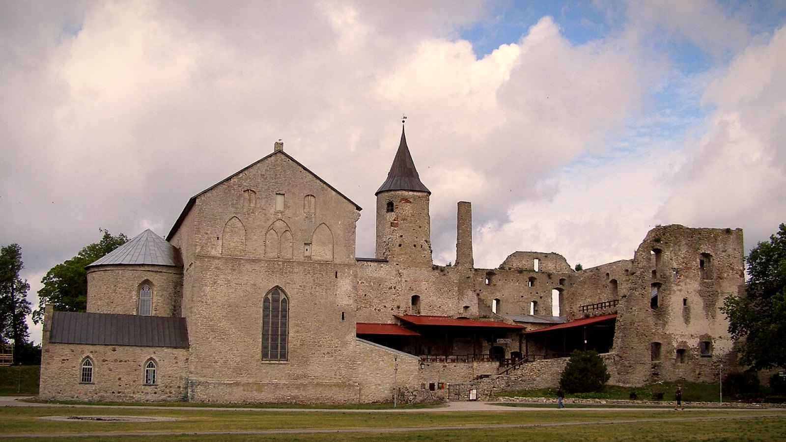
The west coast: Haapsalu – Matsalu – Virtsu
A quiet road from Haapsalu to Matsalu National Park, past bays and marshes. It ends at the ferry in Virtsu.
Distance: Haapsalu to Matsalu is about 50 km, according to Visit Estonia. The whole road through Penijõe to Virtsu is about 79 km, our estimate
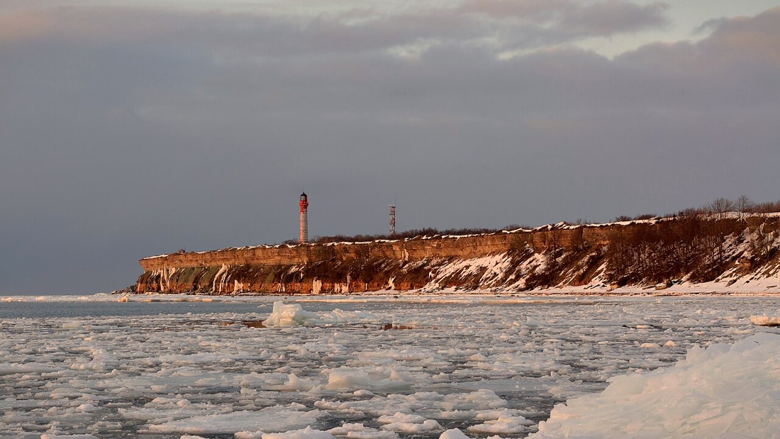
Pakri: cliffs, a waterfall and a lighthouse
From Tallinn to the Türisalu cliff, Keila-Joa waterfall and the Pakri lighthouse. Rummu quarry is on the way back. One day, about 100–140 km.
Distance: about 100–140 km. A Finnish motorcycle blogger counted a little over 100 km, the Detecht app says 113 km, and via every stop it comes to about 140 km (estimate)
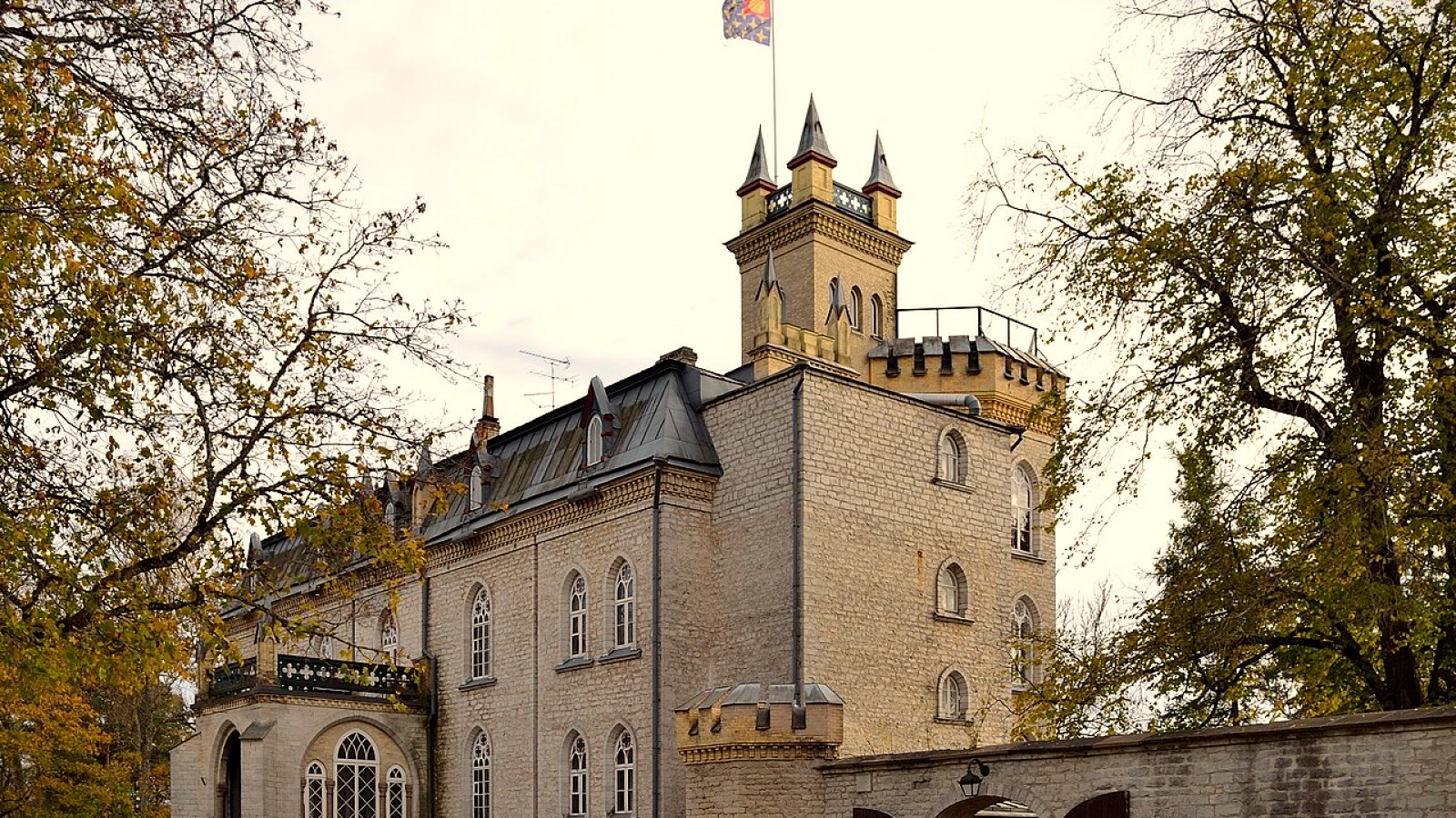
An evening loop on the back roads of Harjumaa
Tallinn — Ääsmäe — Hageri — Kernu — Laitse — Munalaskme — Riisipere — Tallinn. Half a day or an evening, about 150 km.
Distance: about 150 km (estimate)
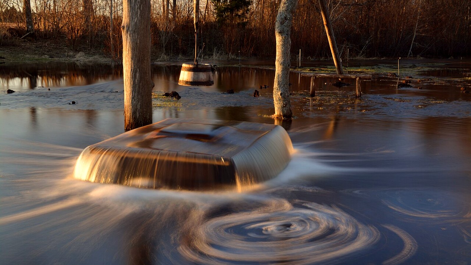
Through Kose: narrow and winding
Tallinn — Tuhala — Kose — Paunküla — Vetla — Tallinn. Half a day, about 150 km. Between Vetla and Paunküla there are 13 km of fine riding.
Distance: about 150 km (estimate)
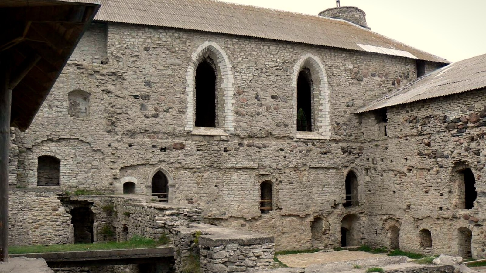
To Haapsalu via Padise
Tallinn — Keila — Padise monastery — Haapsalu. About 110 km one way. There and back is a day’s ride.
Distance: about 110 km one way (estimate)
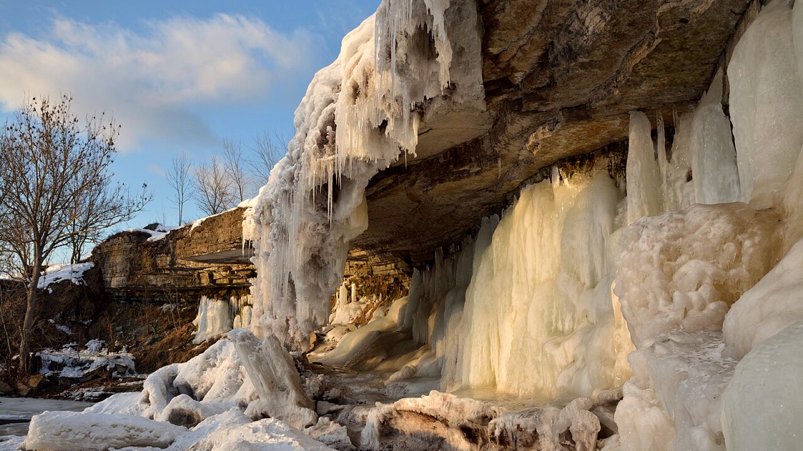
Lahemaa: peninsulas, a captains’ village and a bog
From Tallinn via the Jägala falls, Kaberneeme, Leesi, Hara, Käsmu and Palmse to Viru bog. One day, about 210 km.
Distance: about 210 km (estimate)
East to the cliff and Lake Peipsi
A weekend loop, about 500 km. Day one to Rakvere and Toila, day two back along Lake Peipsi.
Distance: about 500 km (estimate)
Saaremaa via the Virtsu – Kuivastu ferry
Tallinn — Virtsu — ferry — Kuivastu — Muhu — Orissaare — Kuressaare. About 225 km one way, a weekend trip.
Distance: about 225 km one way (estimate)
South on the old roads: Tartu, Otepää, Haanja
A long weekend, about 600 km. Day one to Otepää, day two back through Haanja and Võru.
Distance: about 600 km (estimate)
Before you leave
The Virtsu – Kuivastu ferry fills up in summer, so buy the ticket ahead on praamid.ee. On Fridays after 13:00 towards the islands, and on Sundays after 13:00 back, a vehicle ticket costs 20% more. In July and August the queues are longest.
On weekday mornings the way into town, and in the evenings the way out, Pärnu mnt and the Peterburi road are jammed. Leave before or after the rush. On Friday evening the roads south and east are especially busy.
In Lahemaa, on the shore of Lake Peipsi and on the back roads of Harjumaa fuel stations are scarce, so fill the tank in town. Dipped headlights must be on all the time, there are no toll roads, and the emergency number is 112. The season runs from May to September.
The gravel in the east and south is usually well packed, but it gets slippery after rain. In April the forest roads turn soft. The proper season starts in mid-May.
In Estonia the lights must be on all the time, the helmet should meet ECE 22, it is better not to ride after any alcohol, and there are no toll roads.